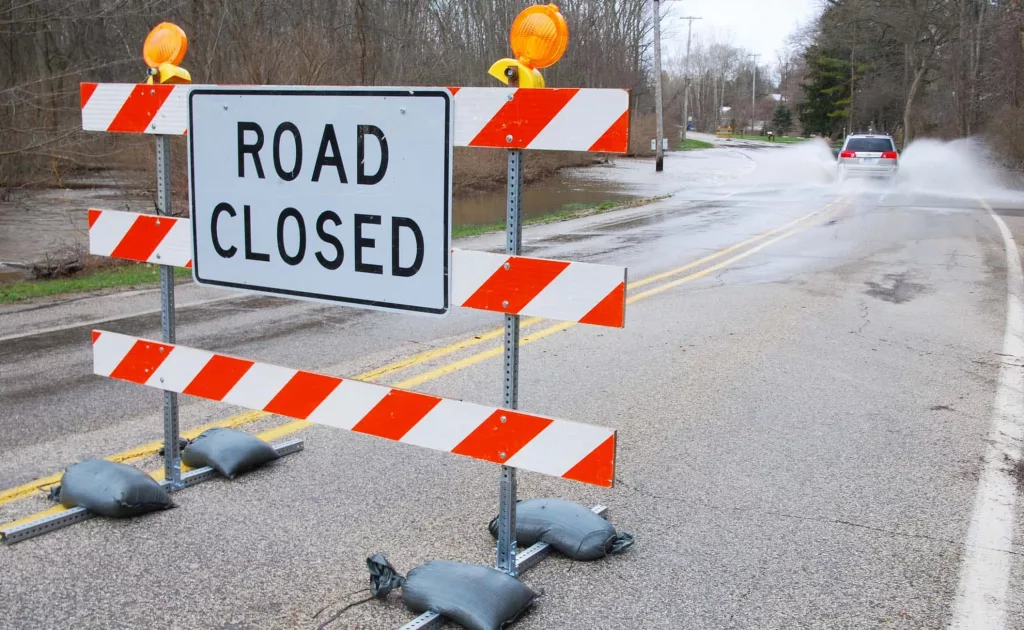
During the course of the day Wednesday, the National Weather Service in Northwest Indiana escalated the Flood Watch for the region to Flood Warnings in several communities including Niles, South Bend and Elkhart. While the higher waters haven’t approached the catastrophic flooding witnessed last year, there are concerns in many areas for low-lying lands that are already underwater and threatened with more thanks to rain still in the forecast.
The Flood Warning first raised yesterday in Niles, continues for the Saint Joseph River at Niles until Monday afternoon now. At early Thursday morning today, the stage was 11.6 feet and rising. Minor flooding is occurring and minor flooding is additionally forecast. Flood stage is 11.0 feet. The forecast calls for the river to continue rising to near 12.1 feet by this afternoon, Thursday, May 2nd, 2019.
The National Weather Service says the river will fall below flood stage around Sunday afternoon. At 12.5 feet, minor flooding of low-lying areas adjacent to the river as well as flooding of basements in Niles can be expected. This crest compares to a previous crest of 12.4 feet which already occurred.
In South Bend, the Flood Warning has been extended to late Monday night. At 5am yesterday, the stage was 4.9-feet there, and rising with minor flooding being forecast. Flood stage in South Bend is 5.5-feet. It is expected to crest near 6.4-feet around 2am tomorrow, Friday, May 3rd and fall below flood stage again by around 2am Monday, May 6th. For South Bend, at 7-feet, flooding is confined to park land and park roads, with some backyard flooding occurring in residential areas near the river.
At Elkhart, the Flood Warning has been extended to Saturday afternoon. At 9pm last night the stage was 23.7-feet and rising with minor flooding forecast. Flood stage at Elkhart is 24-feet. The river is forecast to rise to near flood stage at Elkhart around 2pm this afternoon, Thursday, May 2nd. At 24-feet, Island Park in Elkhart and Kamm South Island in Mishawaka are expected to begin to flood.
Stay tuned for additional updates from the National Weather Service.


