For winter weather thrill seekers, the winter of 2017-2018 is proving to be an honest contender for “wildest ride” in a long time with the peaks and valleys of heavy snow, followed by melting and mild weather and then more big snow, followed by a thaw, and then again the threat of even more snow. Anybody who’s not a fan of winter weather however has had plenty of opportunities to curse the weather forecast and we’re about to let the swearing begin once again.
This is not news to anyone who has been paying attention, however, we share it here so that businesses and organizations can plan accordingly for what their Friday, February 9th, workforce schedule could be impacted by.
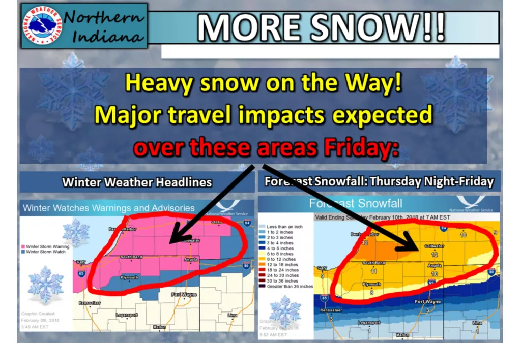
That graphic above from the Northern Indiana office of the National Weather Service portrays the current status for this crazy, mixed-up winter.
For now, they tell us enjoy the relative calm before the storm by stocking up for anything you might need in the immediate future of the next 24 to 36 hours after 9pm tonight.
That’s when the Winter Storm Warning goes into effect as the National Weather Service says snow is expected to develop tonight “and persist through Friday.” To add to the impact they say, “The snow will become heavy at times over far southern Lower Michigan into northern Indiana where significant travel impacts are expected Friday into Friday night. Amounts of 8 to 12 inches in the warning area are expected with much lower amounts further south. More snow over the weekend is likely to cause additional impacts.”
Here’s the official wording of the Winter Storm Warning for you:
| Event: | Winter Storm Warning | ||
| Alert: |
...WINTER STORM WARNING IN EFFECT FROM 9 PM EST /8 PM CST/ THIS EVENING TO MIDNIGHT EST /11 PM CST/ FRIDAY NIGHT... * WHAT...Heavy snow expected. Total snow accumulations of 8 to 12 inches are expected. * WHERE...Portions of northern Indiana and southwest Michigan. * WHEN...From 9 PM EST /8 PM CST/ this evening to midnight EST /11 PM CST/ Friday night. * ADDITIONAL DETAILS...Travel will be very difficult to impossible, including during the morning and afternoon commutes on Friday. Be prepared for significant reductions in visibility at times. |
||
| Instructions: | A Winter Storm Warning for snow means severe winter weather conditions will make travel very hazardous or impossible. If you must travel, keep an extra flashlight, food and water in your vehicle in case of an emergency. | ||
| Target Area: |
|
||


